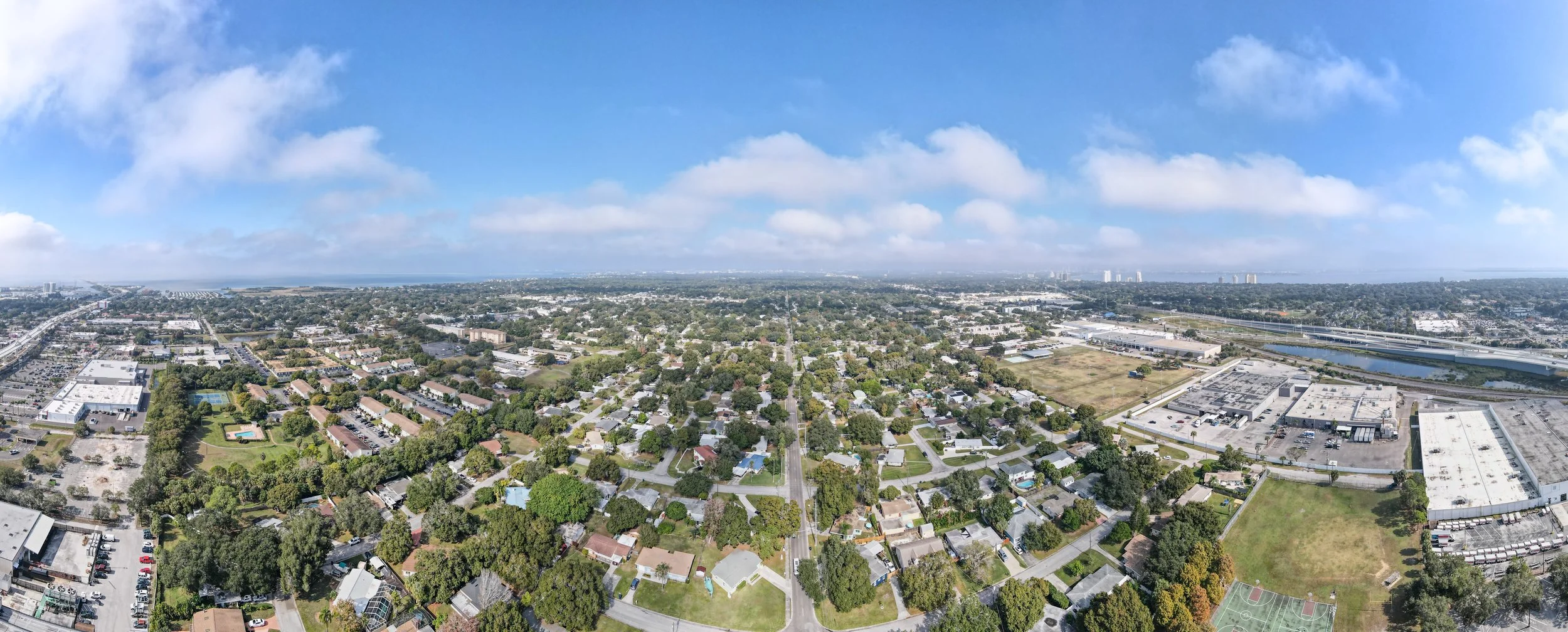
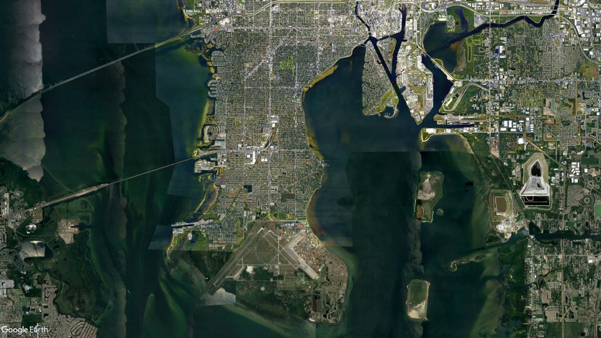
TAMPA LOWER PENINSULA

Focusing on the Impacts
of Sea-Level Rise.
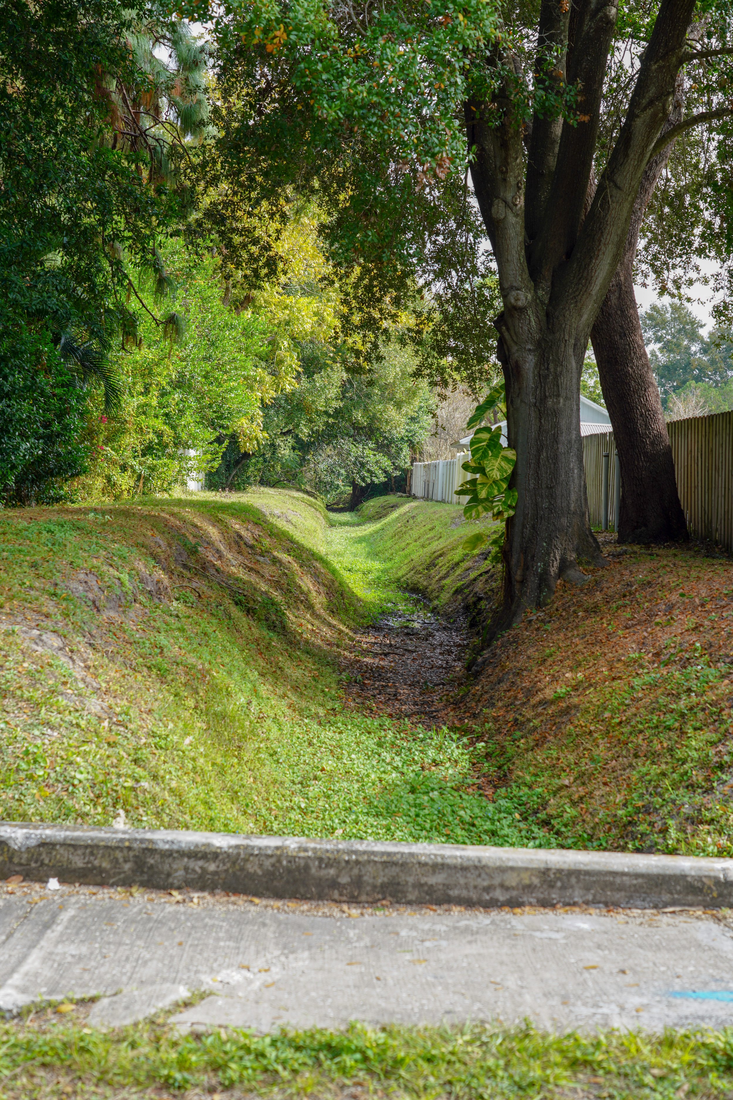
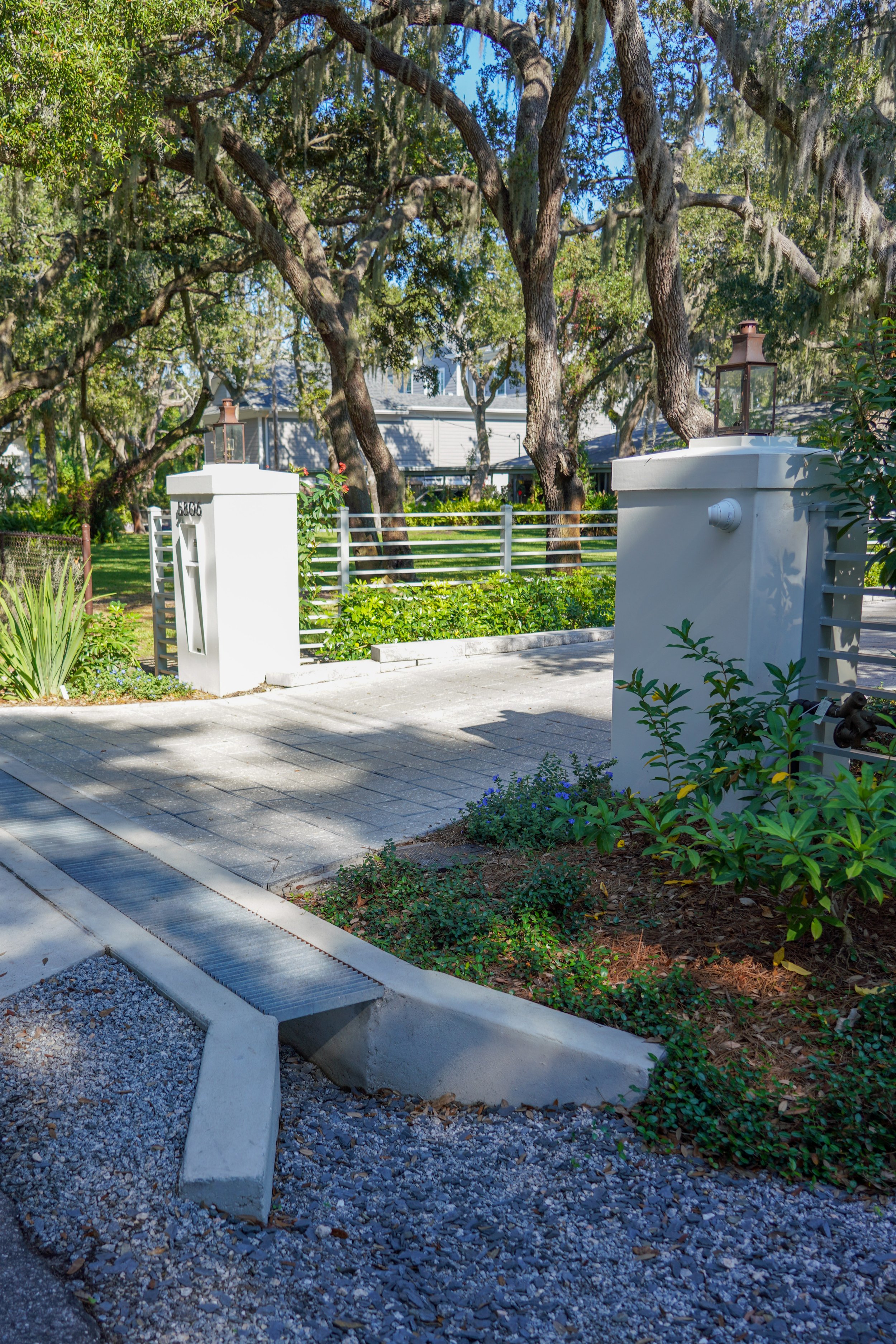
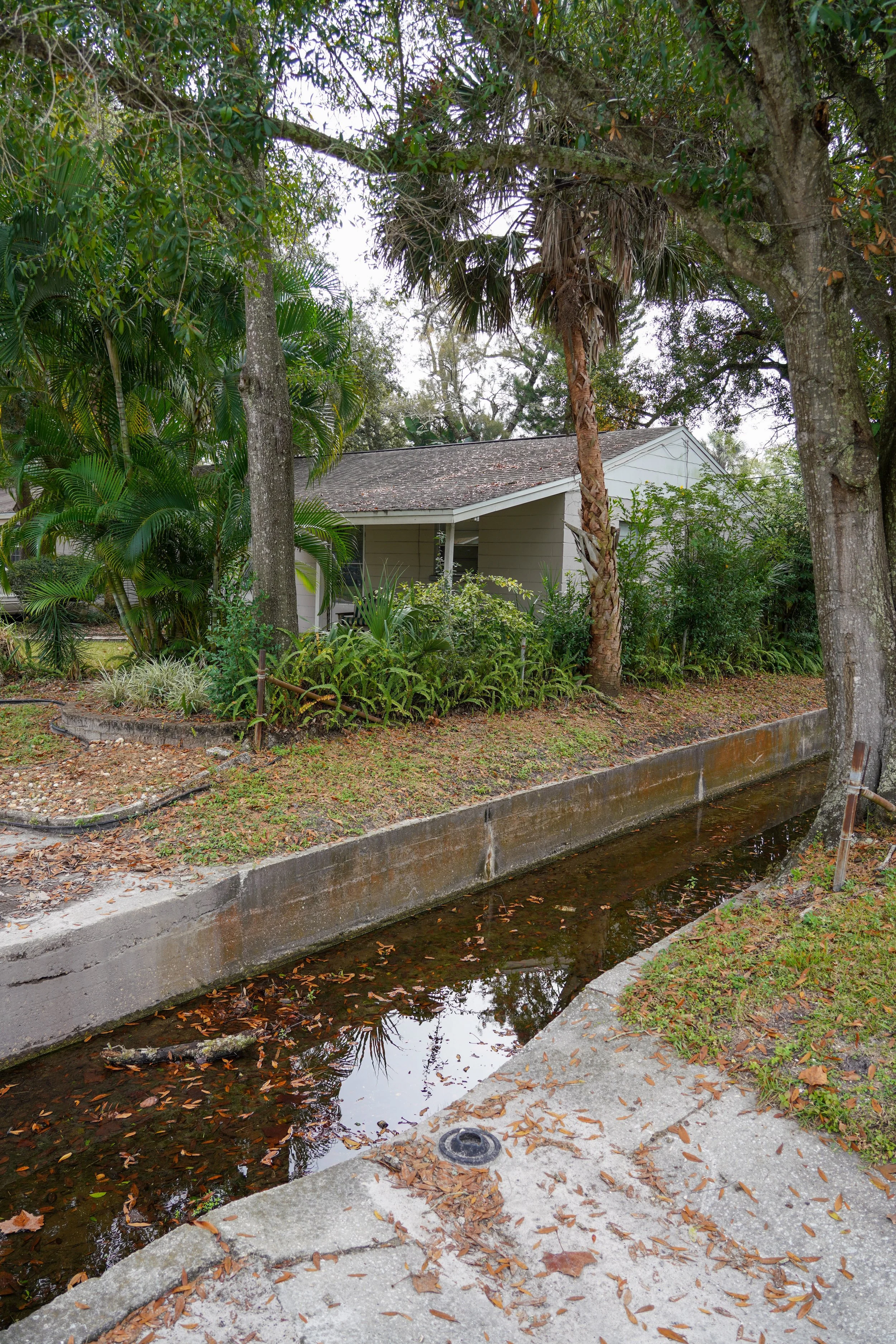
This project consisted of an urban watershed study in the lower portion of the Tampa peninsula. One of the main objectives of the project was to develop a Hydrologic and Hydraulic (H&H) stormwater routing model to simulate the existing stormwater system’s conveyance and flood protection capacity. Upon completion of the modeling effort, the model was then utilized in identifying and evaluating seven (7) conceptual improvement projects necessary to improve the overall Flood Protection Level of Service (FPLOS) within the Lower Peninsula Watershed. This model was also used for a subsequent Sea Level Rise (SLR) analysis by ASCI. The City of Tampa and local engineering community continue to use this model today for the design and implementation of current and future flood relief projects on the peninsula.
LOCATION: City of Tampa, Florida
AREA: South Tampa.
DATE: 2019.
SIZE: 5410 Acres.
CLIENT: City of Tampa.
ROLE: Planning.
COLLABORATORS: Southwest Florida Watershed Management District, City of Tampa.
FEATURES: Water Management/Flood Relief Analysis.
Stormwater Catchment Boundaries