SEMINOLE HEIGHTS

Assessing Flood Conditions
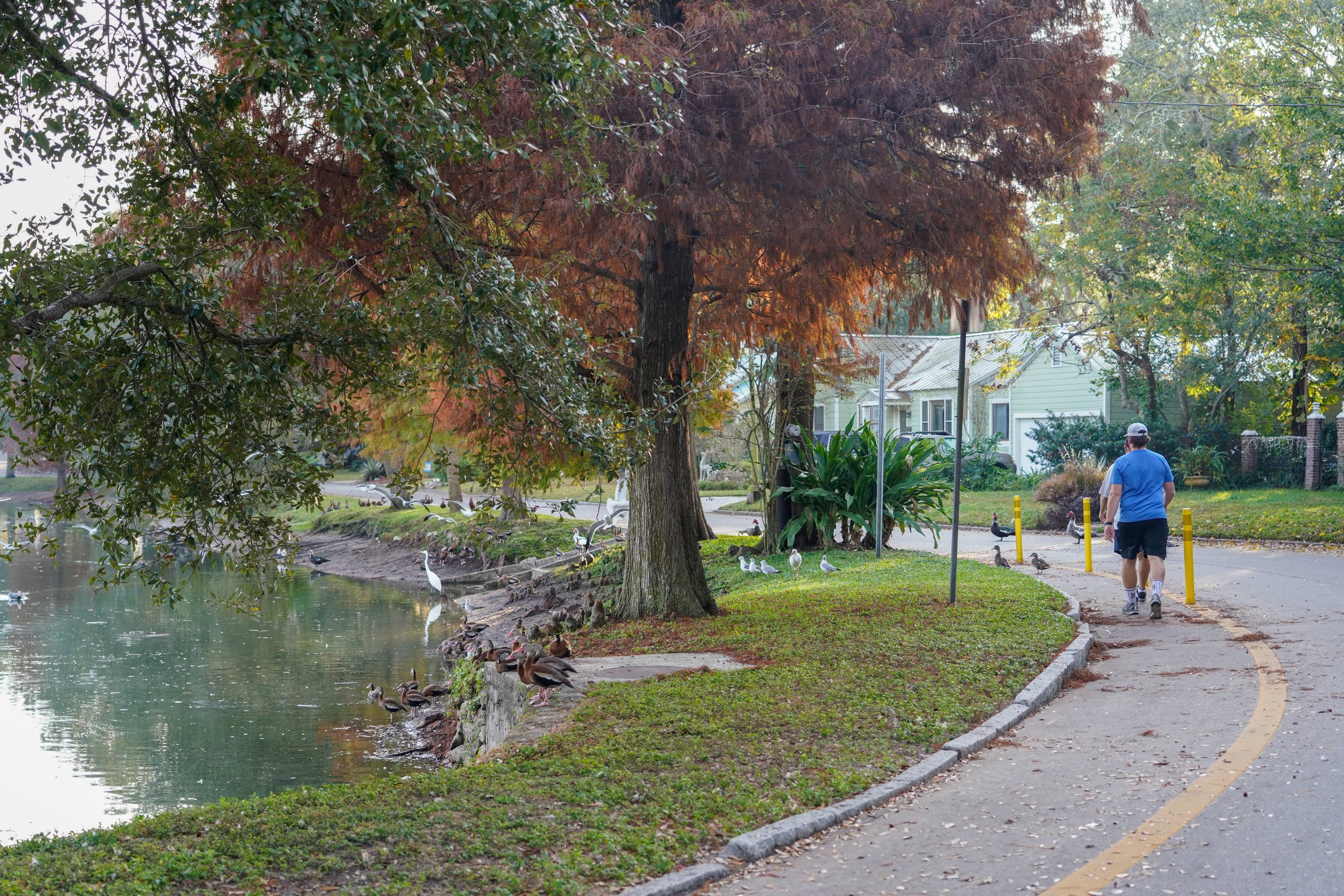
This project consisted of updating the existing Southeast Seminole Heights (SESH) watershed model to improve the reliability of the model to more accurately assess the existing flood condition within the region in support of a proposed flood relief project. The project also included the development of a proposed conditions model to analyze the flooding relief benefits of the proposed project. To quantify the effectiveness of this project, ASCI conducted a comprehensive Benefit Cost Analysis (BCA) which was used to secure cooperative funding from the SWFWMD. The proposed and existing models were then utilized to assess the effects of Sea Level Rise through the year 2050.
LOCATION: City of Tampa, Florida
AREA: Seminole Heights.
DATE: 2021.
SIZE: 1007 Acres.
CLIENT: Wade Trim / City of Tampa.
ROLE: Civil.
COLLABORATORS: City of Tampa, SWFWMD, FDOT.
FEATURES: Water Management/Flood Relief Analysis/ Vulnerability Analysis.